Grade Control for Excavators
Maximum efficiency for your excavator. Everyone talks about it, but only Trimble delivers.
New! Augmented Reality for Excavators
Operators can now view 3D models in a real-world environment at a true-life scale, in the context of existing surroundings. On the Trimble Earthworks Grade Control Platform display, the model is overlaid onto existing ground giving the operator a better understanding of the work that needs to be done. Visibility of the bucket gives operators better situational awareness to be able to keep surrounding people and objects safer. Users can easily understand 3D models, cut/fill information, slope data and other bench points and reference points in context, without the need to interpret complex 2D plans or stakes.
Introducing Undertime
Trimble Earthworks is designed to help you do more in less time. Reengineered from the ground up, our innovative, next generation grade control platform features intuitive, easy-to-learn software that runs on an Android operating system. And state-of-the-art software and hardware give operators of all skill levels the ability to work faster and more productively than ever before.
Trimble Earthworks is now available in a subscription model with flexible terms to modernize your equipment with no large upfront cost.
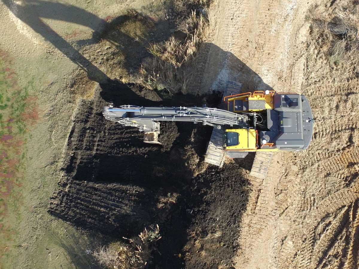
Trimble Earthworks Automatic Excavator Control
With Trimble Earthworks, you can now take advantage of the first integrated 3D aftermarket grade control automatics for excavators and tilt-rotator attachments. Excavators can work semi-automatically, allowing operators to create smooth, flat or sloped surfaces more easily.
Trimble Earthworks Software
Trimble Earthworks is an entirely new grade control software application that runs on Android and helps your crew be more efficient and productive.
Trimble Earthworks Dual GNSS
Trimble, a leader in precision measurement technology, pioneered the Dual GNSS solution to meet the needs of the construction industry. Watch the video to see how it works and why you need it.
Configuration Options for Excavators
| Product | Applications | Configurations | Description |
|---|---|---|---|
| 3D | Highway Construction Mass Excavation Land reclamation Dam and reservoir construction New infrastructure projects Landfills and waste deposits |
Single GNSS | Measures the position of the bucket and compares that to design data for rough grading and mass excavation on complex design surfaces |
| Dual GNSS | Measures the exact position and heading of the bucket for rough grading and mass excavation on steep slopes and complex design surfaces | ||
| Universal Total Station (UTS) | Total station based system for extreme accuracy for lift and layer control, material monitoring, or where GNSS is not the ideal solution because of overhead obstructions | ||
| 2D | Residential and commercial sites Road construction Trenches Ditches Finished slope work Dredging and waterways Digging footers and basements |
Depth, Slope and Elevation Control | Highly flexible system for excavation, trenching, grading and profile work |
| Depth and Slope with Bench Reference | Simply enter the desired depth and slope, or bench using your bucket. The system will provide guidance to a depth or slope based on distance from a known point or “bench” on the ground. | ||
| Laser Reference | A rotating grade laser provides a reference plane across the job site. | ||
| Depth and Slope with GNSS | Keep the easy to use Depth and Slope or Bench and Go workflows, and leverage GNSS to move around the site without having to use touch points or laser reference to carry your elevation. In addition you can also rotate and maintain constant slopes as the GNSS also provides heading. |
3D Grade Control for Excavators
Trimble 3D grade control can be installed on excavators with standard buckets or tilt buckets. Tilt rotator attachments are also supported.
Work in Any Environment
- Use either GNSS or total stations
- Measure the precise 3D position of the teeth of the bucket
- A simple 2D GNSS Bench and Go workflow means no office software and no 3D models required
- Work up to 20 meters underwater with a deep underwater kit
- Quickly perform complex tasks and simplify finishing slopes with accurate 3D positioning
- Shape V-ditches and operations where the excavator is digging a slope that is not perpendicular to the boom
Excavator Automatics
With Trimble Earthworks, you can now take advantage of the first integrated 3D aftermarket grade control automatics for excavators and tilt-rotator attachments. Excavators can work semi-automatically, allowing operators to create smooth, flat or sloped surfaces more easily. Achieve grade consistently, with high accuracy and in less time by automating excavator operation with Trimble Earthworks.